Second Nepal Flood Warning: What Happened After the Tibet Barrier Lake Began Draining

A second flood warning issued for northern Nepal was a genuine public-safety alert, but it did not describe the failure of a conventional concrete hydroelectric dam.
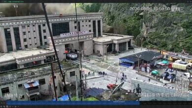
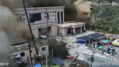
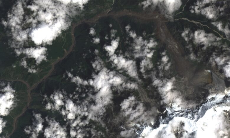
The warning concerned a new barrier lake formed when ice, rock and mud blocked a mountain watercourse after the August 26 collapse. Water accumulated behind this unstable natural barrier on the Tibetan side of the Nepal-China border.
Why authorities issued a second alert
On August 28, Nepal received information that the upstream barrier had breached or begun releasing water. The Flood Forecasting Division observed rising levels in the Bhotekoshi River, and Nepal Police instructed rescue personnel and residents in exposed areas to remain alert and move to safer ground when necessary.
Chinese authorities temporarily stopped parts of the rescue operation near Gyirong as the lake began overflowing. Work resumed after the immediate risk was assessed as manageable, but monitoring continued because the lake and its outlet remained unstable.
Where the barrier lake formed
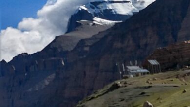
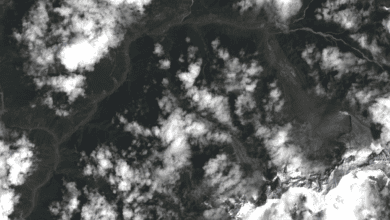
Satellite imagery placed the new water body in the same high-altitude area affected by the glacier and bedrock collapse. The barrier was reported to be more than 10 kilometres upstream of Gyirong Port and roughly 1,000 metres higher in elevation.
Estimates put the stored volume at roughly 2.5 million cubic metres during the early warning period, although the exact figure changes as water enters and drains from the lake. A natural barrier can erode gradually, release water in pulses or fail suddenly if its outlet widens.
Did a second catastrophic flood occur?
The lake began to overflow and drain, and a rise was detected downstream. However, the available reporting did not confirm a second wave on the scale of the devastating August 26 flood. The warning was therefore precautionary and justified, not proof that another disaster of equal magnitude had already occurred.
This distinction matters because social-media posts repeatedly described a “second Chinese dam burst” as though a major engineered dam had collapsed. The hazard was real, but the structure was a temporary barrier created by debris and ice.
Why downstream communities still need caution
Even after the lake level falls, newly cut channels can collapse, debris can form additional blockages and rain or meltwater can destabilise surrounding slopes. Sediment already deposited in the river can also redirect flow toward roads, settlements and rescue routes.
Communities along the Bhotekoshi and Trishuli corridors should rely on official river-level warnings rather than dramatic videos or unsourced countdowns. People should move vertically to higher ground when instructed, avoid bridges and banks during a surge, and keep routes clear for rescue vehicles.
What monitoring should answer next
The most important questions are whether the lake continues to drain freely, whether its outlet is widening, and whether new slope failures are visible upstream. Radar and optical satellite imagery, drone surveys and river gauges can provide different pieces of that picture, but cloud cover and damaged equipment can delay certainty.
The second warning shows why cross-border information is essential in Himalayan river valleys. Water and debris can reach downstream communities faster than conventional rain-flood systems are designed to detect, leaving only minutes for an effective evacuation.
Status reviewed on 29 August 2026. Residents should follow newer local instructions whenever they differ from this report.