Nepal floods leave 2.2 million tonnes of debris, UNDP estimates

KATHMANDU, September 2 — Floods and mudflows along Nepal’s Bhote Koshi–Trishuli river system left an estimated 2.2 million tonnes of debris within the areas analysed so far, according to a new rapid assessment by the United Nations Development Programme.
The estimate gives the recovery challenge a scale that casualty totals alone cannot show. It includes pieces of buildings, household possessions, vegetation, rocks and sediment. UNDP calculates that about 556,200 tonnes came from damaged buildings identified in an initial satellite assessment covering 2,359 structures.
Why the estimate is preliminary
UNDP combined Copernicus emergency satellite analysis and SERTIT building-damage data with locally adapted engineering assumptions. That method helps planners work before every site can be visited, but the number will change as clouds clear, field teams validate damage and additional buildings are mapped.
The RAPIDA assessment summary does not mean 2.2 million tonnes has already been removed or that all material can be treated the same way. Mud, rock, timber, household waste, fuel-contaminated material and possible hazardous debris require different handling.
Power and access losses
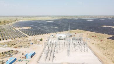
Eleven operating hydropower stations and one solar plant, together representing 431.1 megawatts, had stopped operating. Another 15 power projects under construction, with a planned capacity of 470 megawatts, were reported damaged. Broken roads and electricity systems slow debris removal while also delaying water supply, communications, health care and local trade.
Heavy machinery cannot simply enter every valley. Search teams must first assess unstable slopes, washed-out bridges and the possibility that people remain beneath collapsed structures or deep deposits. Clearing a road quickly can conflict with preserving a search site or preventing more material from falling.
Livelihood damage can last beyond cleanup
Government figures cited by UNDP say 84,270 people were affected across 17 municipalities in six districts. Roughly three-quarters lived in places already experiencing greater difficulty with livelihoods and basic services. Most affected municipalities are rural hill communities, where 67.4% of people work in agriculture.
The timing overlaps Nepal’s June-to-September monsoon planting season. Losses to fields, stored seed, livestock, irrigation and market access can therefore reduce income and food availability long after houses and highways are cleared.
What responsible recovery requires
Recovery planning must separate recyclable construction material, ordinary waste and hazardous material; identify safe temporary storage sites; protect waterways from secondary pollution; and give communities a voice in decisions about relocation or rebuilding. Debris removal can also create short-term paid work if safety equipment, engineering oversight and fair hiring are built into programmes.
The 2.2-million-tonne figure is best read as a planning baseline, not a final bill or a precise household count. Its value is that it turns satellite evidence into an early map of where rescue access, waste handling, infrastructure repair and livelihood support are likely to be most difficult.
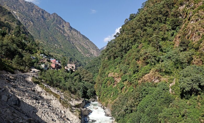
Archive photograph of the Bhote Koshi River near the China border at Tatopani, Nepal. It does not show the August 2026 debris field. Photo: Saddam19, Wikimedia Commons, CC BY-SA 4.0.